Doppler Wind Lidar Observations during T-REX - Overview
Overview | System | Highlights | ECMWF Forecasts | Gallery | Publications | Contact | Links
Doppler Wind Lidar Observations during T-REX - OverviewOverview | System | Highlights | ECMWF Forecasts | Gallery | Publications | Contact | Links |
|
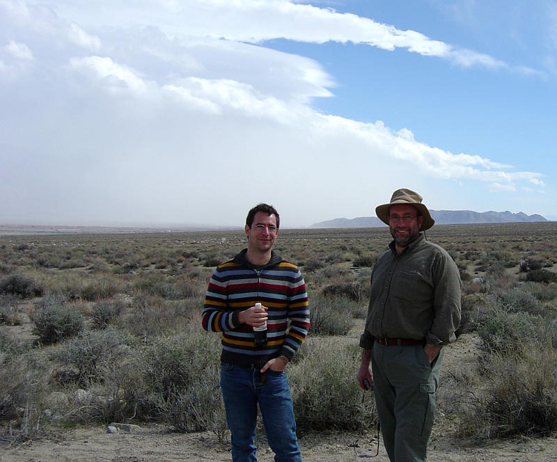
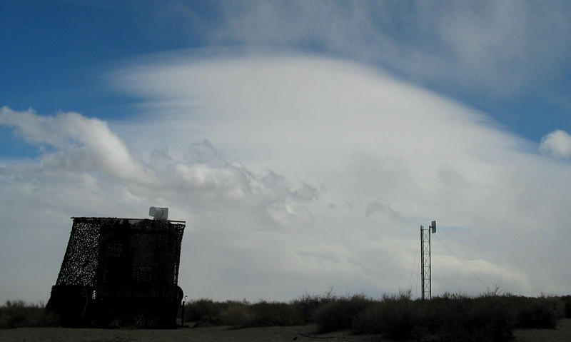
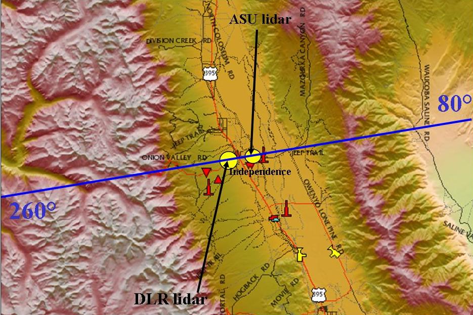
OverviewThe Terrain-Induced Rotor Experiment (T-REX) took place in March/April 2006 in the Owens Valley, Sierra Nevada, California. The DLR Institut für Physik der Atmosphäre operated a coherent 2 µm Doppler lidar from Lockheed Martin Coherent Technologies to investigate the dynamics of mountain waves and rotors. The measurements were coordinated with a similar Doppler lidar operated by the Arizona State University. The systems operated simultaneously for about 6 weeks. The first deployment of two Doppler lidars for mesoscale meteorological research made it possible to retrieve horizontal and vertical wind components in vertical cross sections perpendicular to the valley axis. The lidars performed nearly continuous measurements throughout 6 weeks, which included several interesting events outside of Intensive Observation Periods (IOPs). These observations will be used to investigate the nocturnal boundary layer, thermally driven valley and slope flow systems, flow channelling, and also unpredicted mountain wave events. |
 |
|
|
| Map from T-REX Hompage |
| Haftungshinweis: Trotz sorgfältiger inhaltlicher Kontrolle übernehmen wir keine Haftung für die Inhalte externer Links. Für den Inhalt der verlinkten Seiten sind ausschließlich deren Betreiber verantwortlich. |
| Copyright © 2006 by Deutsches Zentrum für Luft- und Raumfahrt (DLR). Alle Rechte vorbehalten. |