DLR Falcon Campaign - Deepwave 2014
Home | Instruments | Blog | Gallery | Forecasts | Data | Conferences | Publications | Links
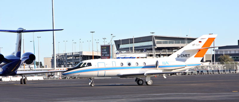
DLR Falcon aircraft
The DLR Falcon aircraft will conduct about 60 hours of local research flights from the base at Christchurch. It
will fly above New Zealands South Island and surrounding oceans in specific patterns crossing the New Zealand
Alps.
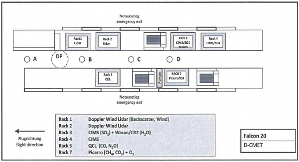
The research aircraft is equipped with in-situ sensors for meteorology and turbulence measurements and for
various trace gases (water vapour, ozone, methane, carbon monoxide, carbon dioxide, nitrous oxide and sulfur
dioxide). The QCL (Quantum Cascade Laser Spectrometer) operated by IPA Mainz measures nitrous oxide and carbon monoxide. The Picarro
cavity ring down spectrometer measures ozone, methande and carbon dioxide. The CIMS (Chemical Ionization Mass
Spectrometer) measures sulfur dioxide. The Waran/CR-2 combination provides water vapour measurements with two
different systems based on TDL (tunable diode laser hygrometer) and the high performance chilled mirror
hygrometer CR-2.
As a remote sensing instrument the 2 um Doppler wind lidar system samples the disturbed wind field and gravity
waves. The wind profiles are retrieved from line-of-sight measurements of the Doppler lidar by the
velocity-azimuth display (VAD) technique. The instrument performs a conical step-and-stare scan around the
vertical axis with a nadir angle of 20 deg°. Combined with the movement of the aircraft, this results in acycloid
scan pattern. The horizontal resolution of the wind profiles (5-10 km) is determined by the time needed for one
scanner revolution (24 times 1 or 2 s as accumulation time per scan position, plus 6 s for the scanner motion)
and the aircraft velocity (160-240 m/s). The vertical resolution of 100 m is determined by the pulse length of
the laser [full width at half maximum (FWHM) = 400 ns (~120 m)] and the nadir angle of 20 deg. Nadir pointing
measurements only without scanningmode will provide vertical winds in a horizontal resolution of ~ 200 m.
Additionally, the aerosol backscatter maps out the cloud field over the Southern Alps. Cloud mapping is important as clouds may alter the generation of vertically propagating gravity waves. Expected cloud types include lenticular (liquid or ice) clouds, undulating alto-stratus, and shallow convective clouds.
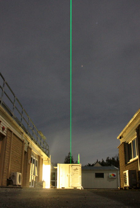
Middle atmosphere lidar
|
The Rayleigh-Raman lidar by DLR is a ground-based system installed at NIWA
station in Lauder, Central Otago. This is on South Island below the Falcon flight track. The system is housed in
a 11-foot container and consists of a laser emitter, trigger electronics, receiving telescopes, detectors and
controlling software. It will provide night-time measurements of density
and temperature (5-105 km) and aerosol (5-35 km). Data analysis will be published real-time and quicklook plots will be available on this website.
|
|
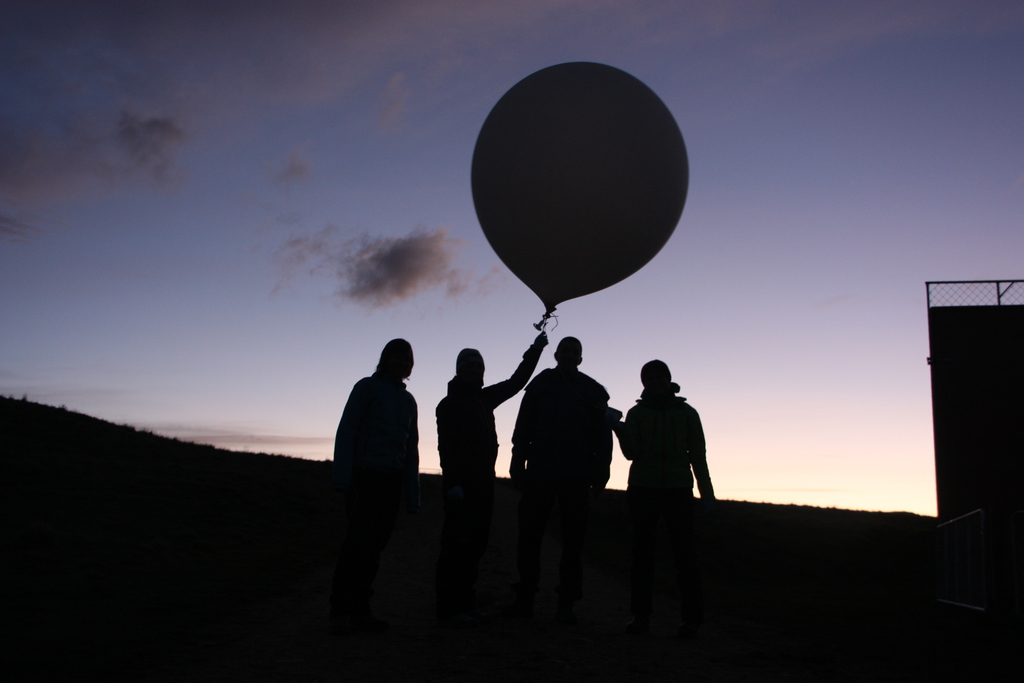
Radiosondes
Radiosondes are launched in the period from June 14 - July 20, 2014. Radiosonde measurements provide wind, temperature and humidity from the surface up to about 30 km altitude. This allows to derive the tropopause height and characterize gravity waves in the troposphere and stratosphere. In coordination with other radiosonde stations deployed during Deepwave, different launch techniques are applied: Simultaneous launches of two balloons with different gas fillings, and series of balloon launches every 90 or 120 min during IOPs. A total of 100 balloons of 600 g are launched from the NIWA station in Lauder, Central Otago. One Väisälä radiosonde station with 80 sondes is provided by the Ludwig Maximilian University Munich and one GRAW radiosonde station is brought by the University of Innsbruck with 20 sondes.