
Satellite data records
ACE-FTSPoint of contact:Temporal coverage: Altitude coverage: Horizontal sampling: Altitude resolution: Products: Further information: |

|
IASI/MetOpPoint of contact: Cathy ClerbauxTemporal coverage: 2007 - now Altitude coverage: Surface to ~25-30 km Horizontal sampling: every 50 km, 4 pixels of 12 km each Altitude resolution: ~ 5 km to total column (depends on species) Products: Temperature, H2O, CH4, CO, O3, NH3, HCOOH, CH3OH, and other species Publications: general Further information: General information on IASI, Data in open access |
|
IASI-SOFRIDPoint of contact: Brice Barret and Eric Le FlochmoenTemporal coverage: January 2008 - ... Altitude coverage: cloud free, troposphere to stratosphere Horizontal sampling: 12 km pixels, 1e6 pixels a day, overpass twice daily Vertical resolution: troposphere, UTLS, middle stratosphere Products: CO and O3 profiles Publications: general Further information: database |
|
MIPAS/EnvisatPoint of contact: Gabriele Stiller and Thomas von ClarmannTemporal coverage: Jul 2002 - Apr 2012 Altitude coverage: Cloud top (or 6 km in cloud-free cases) to 70 km Horizontal sampling: every 400 km along-track on 14.4 orbits per day Altitude resolution: ~ 3 km Products: Temperature, pressure, cloud occurrence, aerosols, up to 30 trace species Publications: relevant for ACAM, general Further information: This portal, Instrument homepage, Data |
of MIPAS observations |
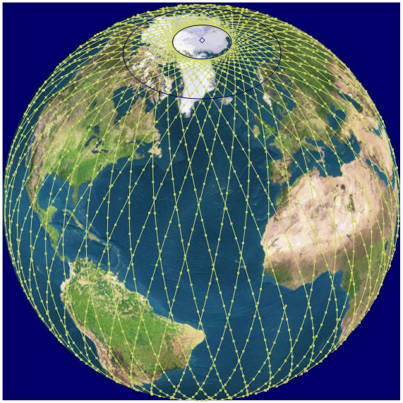
MLSPoint of contact: Michelle L. SanteeTemporal coverage: August 2004 - present Altitude coverage: 316-0.02 hPa, depending on the data product (see MLS Data Quality and Description Document) Horizontal sampling: The along-track separation between adjacent retrieved profiles is 1.5° great-circle angle (~165 km), whereas the longitudinal separation of MLS measurements, set by the Aura orbit, is 10°-20° over low and middle latitudes Altitude resolution: ~2.5-5 km, depending on the data product (see MLS Data Quality and Description Document) Products: Various trace gases (e.g., H2O, CO, O3, HNO3, CH3Cl, CH3CN, CH3OH, HCl, HCN, N2O, ClO, SO2), cloud ice water content (IWC), geopotential height (GPH), temperature Publications: relevant for ACAM, general Further information: This portal, MLS homepage, Data |
|
SAGEPoint of contact: Robert DamadeoTemporal coverage: October 1984 - August 2005 (SAGE II) Altitude coverage: Surface or cloud top to 70 km Horizontal sampling: ~31 occultation measurements per day separated into two latitude bands Altitude resolution: ~1 km Products: ozone, aerosol, water vapor, NO2 Further information: Data download, Data release notes, Data reference |