WiClEAn Quicklooks
Near-real-time radar measurements of precipitation and winds at
Krummendeich, Lower Saxony
for the WiValdi Wind Turbine Clutter Experiment and Analysis (WiClEAn) project
jointly conducted by Deutscher Wetterdienst (DWD), German Aerospace Center (DLR), and GAMIC GmbH.
Purpose: As weather radar measurements can be significantly impaired by wind turbines, this collaborative project will develop methods to minimize the influence of wind turbines on the polarimetric weather radar data of the DWD using observations from the DLR WiValdi research wind park and GAMIC's X-band weather radar. More information regarding the WiValdi research wind park can be found at https://forschungspark-windenergie.de/.
Funding: The WiClEAn project is funded by the Federal Ministry of Economy and Energy (BMWE) on the basis of a resolution of the German Bundestag under the contract number 03EE2074B.
GAMIC X-band Weather Radar - 5 km NE of WiValdi Research Wind Park
The WiClEAn project utilizes the GMWR-25-DP portable X-band weather radar manufactured by GAMIC GmbH. It is capable of collecting data within a radius of 100 km, enabling the
estimation of precipitation intensity, type and movement. During the measurement, the radar antenna rotates several times through 360° at various elevation angles,thereby generating a volumetric dataset comprising several parameters (e.g. reflectivity, radial velocity).
The precipitation image shown is a CAPPI (Constant Altitude Plan Position Indicator), in which the reflectivity is interpolated from the volumetric data onto a plane at a constant
altitude (here 2 km). Reflectivity is a parameter measured by the radar and is proportional to precipitation intensity. The CAPPI thus enables an assessment of the precipitation
areas within the radar coverage area.
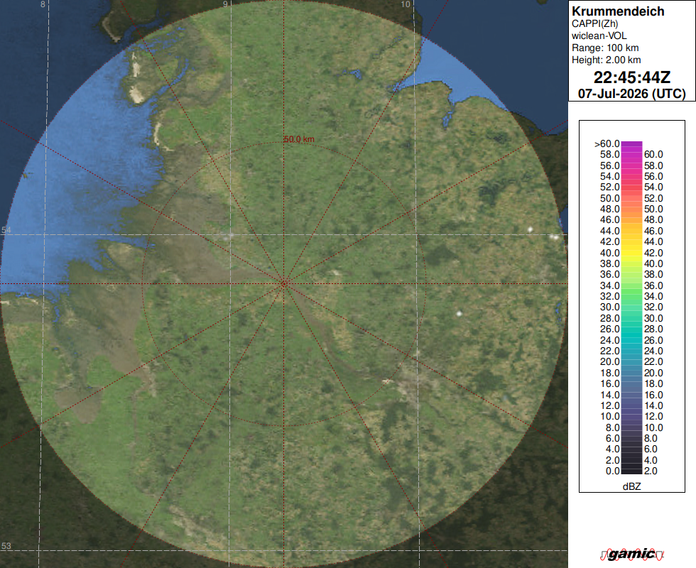
Radar Reflectivity [dBZ]