
Third local research flight was successfully completed on Friday, 15th November, and ended with landing in darkness to allow for synchronous measurements of the airborne lidar (ALIMA) and the ground-based lidar (CORAL).
The focus of the flight was on mixing processes along the wind shear of the tropopause jet and due to mountain waves above the Andes. The flight track consisted of a box pattern around 40°S with multiple N-S sections upstream and downstream of the Andes. This time, there were no signals of the Australian bushfire emissions in the quicklook data available on-board during the flight.
CORAL is located close to Rio Grande Airport and can only measure during night time. It was unfortunately broken during phase one. Spare parts were released by customs too late and no coordinated measurements were possible in September.
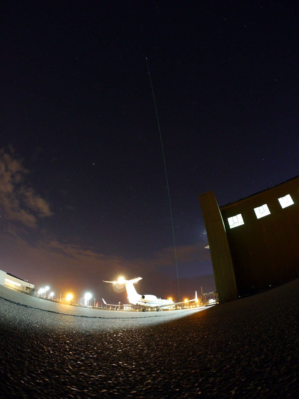
Weather forecast models predicted cloud free conditions for Rio Grande in the evening of the flight day. In order to have dark enough conditions for CORAL to measure, the overflight of HALO close to CORAL was scheduled for 11pm right before landing. First, the conditions at Rio Grande looked very promising, already before sunset the sky started to show its blue color. A balloon carrying a radiosonde was released to get additional wind data up to an altitude of 30 km. CORAL was powered on and started the measurements after sunset and half an hour before the arrival of HALO. With another patch of clouds already showing up to the west, it started to become a race against time. Only 15 min away from Rio Grande, the ALIMA operator on-board sent the following message down to the ground team: “Hold on, we’re coming ;)”. However, when the green beam of CORAL became clearly visible by bare eye as a short green line in the sky due to the presence of clouds, we knew HALO will be too late for perfectly synchronised measurements of ALIMA and CORAL.
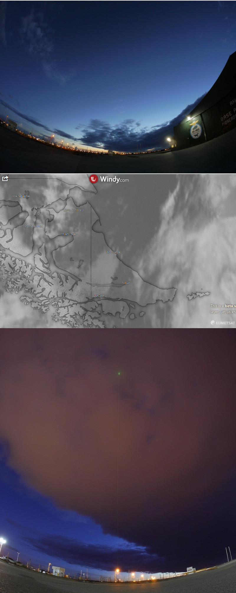
Anyway, the sky cleared up again short after landing when HALO was still parked in front of the hangar and CORAL measurements could continue for the rest of the night. This data provide a unique combination of temperature date in time (CORAL) and space (ALIMA) that can be used to study atmospheric temperature structure and gravity waves up to 80-km altitude.
The next flight was scheduled for Tuesday, 19th November. Unfortunately, it was cancelled due to a technical issue that need to be fixed before the next flight. Some ground days are expected to be required.